
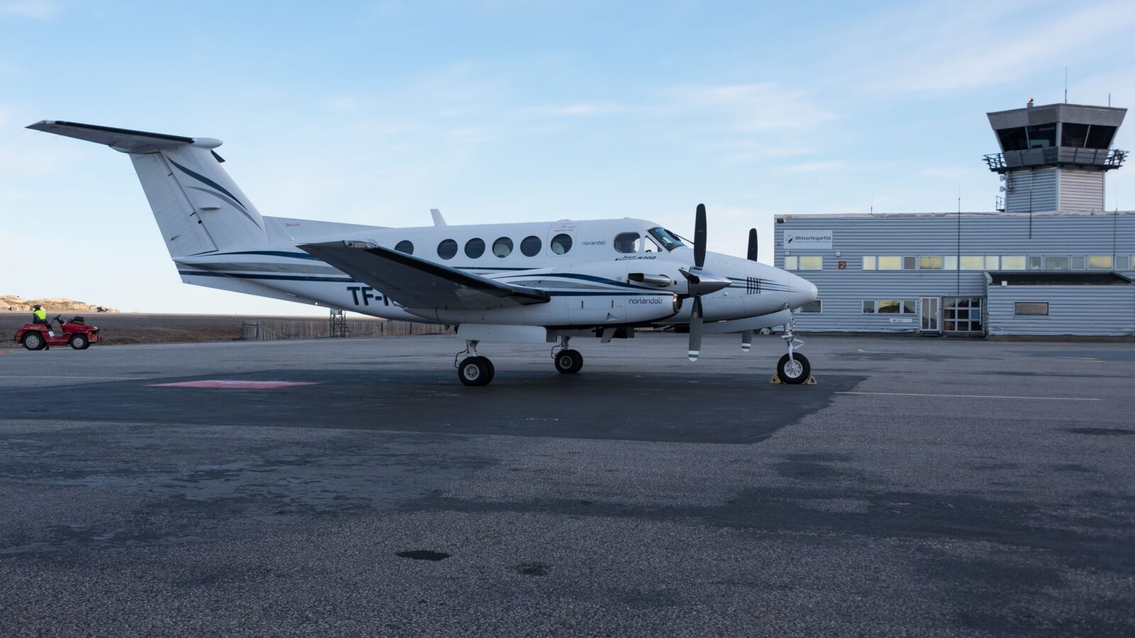
A United States military GPS jamming exercise disrupted the navigation of a medical transport flight minutes before it struck a mountain in New Mexico, killing all four people on board, according to a preliminary report from the National Transportation Safety Board.
The board has not determined a probable cause or identified contributing factors. Its report sets out the sequence of events without attributing responsibility.
What does the report describe?
The Beechcraft King Air left Roswell Air Center at 11:52pm on 13 May, bound for Sierra Blanca Regional Airport near Ruidoso to collect a patient for transfer to Albuquerque. Two pilots and two flight nurses were aboard.
About eight minutes after departure the aircraft’s GPS failed. At least three other aircraft reported navigation problems in the same period. The US Air Force was conducting an electronic warfare exercise at the White Sands Missile Range, roughly 100 miles west.
| Time | Event |
|---|---|
| 11:52pm | Departs Roswell Air Center |
| About 12:00am | GPS navigation lost |
| 12:08am | Crew reports airport in sight, last transmission |
| 12:15am | Aircraft strikes terrain at 9,950 feet |
What happened to the New Mexico medevac flight?
A Beechcraft King Air operating a medical transport flight crashed into terrain in the Capitan Mountains of New Mexico on 14 May 2026, killing two pilots and two flight nurses. A preliminary report from the National Transportation Safety Board states that the aircraft lost GPS navigation approximately eight minutes after departing Roswell Air Center, during a United States military electronic warfare exercise at the nearby White Sands Missile Range. Air traffic controllers requested that the jamming be paused, and GPS service returned. The crew then reported the destination airport in sight and accepted a visual approach, after which the jamming was resumed. The aircraft struck a mountain ridge at an altitude of 9,950 feet roughly five minutes later. The NTSB has not determined a probable cause or contributing factors.
How did the sequence unfold?
An air traffic controller escalated the navigation problem to a supervisor, who asked the military to stop jamming. It stopped, and GPS service returned to the aircraft.
The crew then reported the airport in sight and accepted a visual approach, flown by reference to the ground rather than instruments. With the aircraft apparently established, the supervisor told the military it could resume. Roughly five minutes later the aircraft struck the ridge.
It had overshot the landing pattern by about ten miles and turned left toward high terrain rather than making the required right turn. The night was moonless. The resulting fire burned close to 32,000 acres.
How common is GPS interference?
The Aircraft Owners and Pilots Association has recorded a sharp rise in interference events, from four in 2020 to 50 in 2024 and 40 during 2025.
The circumstances were first reported by Wired. The US Army issued a statement in response to that reporting.
Why does jamming affect civilian aircraft?
GPS was opened to civilian use to prevent aircraft straying into hostile airspace, after a Korean Air Lines flight was shot down by Soviet forces in 1983. Civil aviation now depends on it for navigation and approach guidance.
Military electronic warfare testing degrades those same signals across a wide area. Crews are expected to revert to conventional navigation, but doing so at night in mountainous terrain removes the margin that satellite guidance normally provides.
A preliminary NTSB report establishes facts rather than findings. A final report, which would assign probable cause, typically follows a year or more later.
Related coverage
Sources for this report

The Redline News Desk
The Redline News desk files and edits world reporting. Every story carries the sources it was built from, and corrections are published on the story itself.
Leave a Reply