
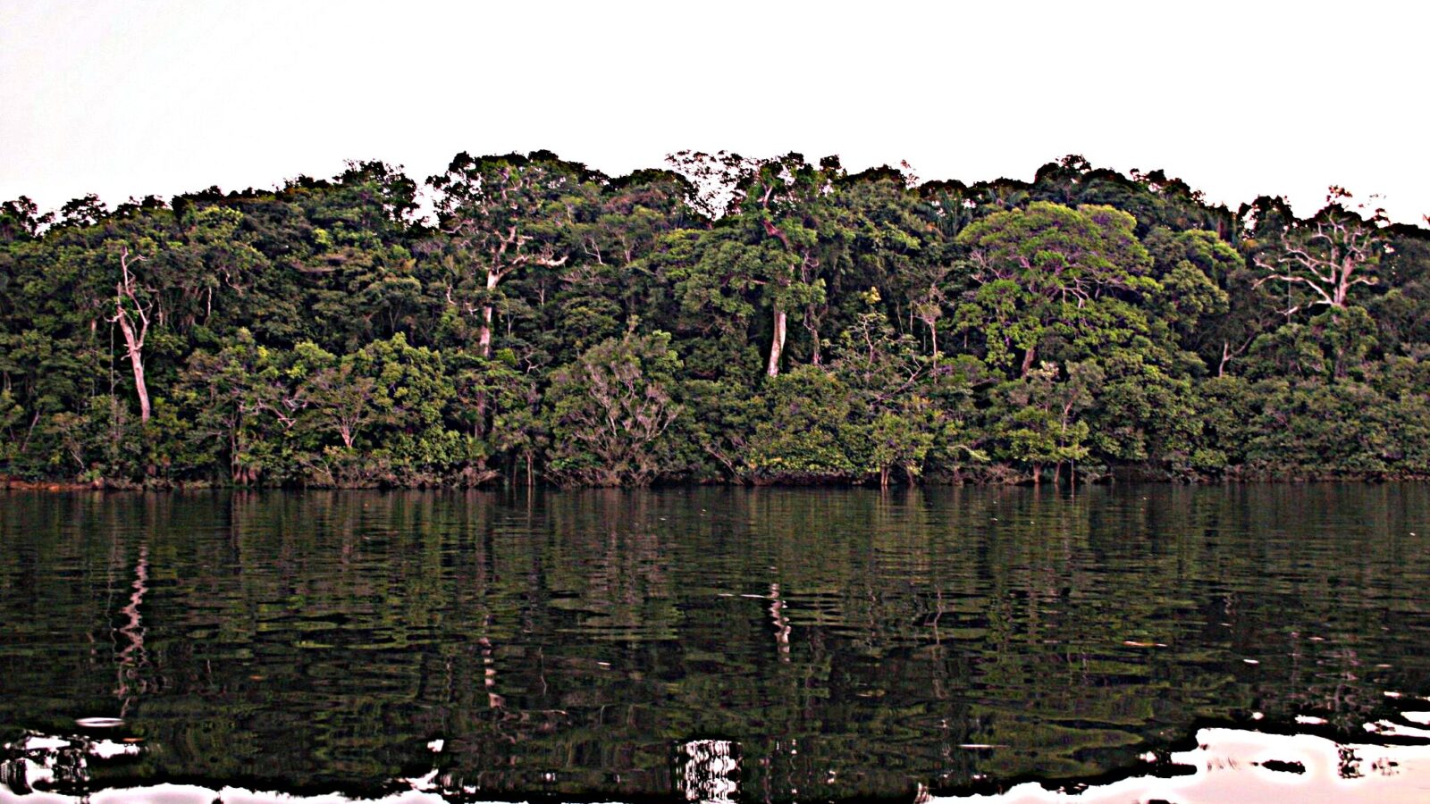
An airborne laser survey of the south-western Amazon has identified almost 400 previously undocumented monuments built by a civilisation known as the Aquiry, suggesting a population of up to three million people in a region long assumed to be untouched rainforest.
The findings, led by Martti Parssinen of the University of Helsinki and published in Nature, cover a surveyed area of roughly 4,200 square kilometres in the Brazilian states of Acre and Amazonas.
What was found?
Researchers identified more than 400 well-preserved sites of monumental ceremonial architecture, along with some later settlement sites, and extrapolated a cautious estimate of more than 20,000 ceremonial earthwork centres across the full territory.
The structures are geometric earthworks known as geoglyphs, forming circles, squares, rectangles and octagons. Most average around three hectares; the largest known site covers 50. Their ditches run up to twelve metres wide and five metres deep.
| Measure | Finding |
|---|---|
| Period | 600 BCE to 850 CE |
| Territory | About 183,000 sq km |
| Sites newly identified | Almost 400 |
| Estimated total earthworks | More than 20,000 |
| Peak population | 1.25 to 3 million |
What was the Aquiry civilisation?
The Aquiry were a civilisation that occupied south-western Amazonia between roughly 600 BCE and 850 CE, across a territory of about 183,000 square kilometres in what is now northern Brazil. Research published in Nature in 2026, led by Martti Parssinen of the University of Helsinki, used airborne laser scanning to identify almost 400 previously undocumented monumental earthworks, from which researchers extrapolated an estimate of more than 20,000 ceremonial centres across the wider territory. Radiocarbon dating and survey work indicate a peak population of between 1.25 million and 3 million people early in the first millennium CE. The Aquiry appear to have been a network of communities sharing traditions rather than a single kingdom or empire. They left no written records. The name derives from an Arawak term for the Acre River, meaning river of caimans.
How was it surveyed?
The team used lidar, which fires laser pulses from an aircraft. Most strike the canopy, but a fraction pass through gaps in the foliage and return from the ground, allowing a three-dimensional map of the surface beneath dense forest.
Population estimates were derived from the labour required to build and maintain the structures. Researchers calculated that an average earthwork needed around 300 people, then scaled that against the estimated number of sites.
Why does it change the picture?
Aquiry territory accounts for less than 3 per cent of the greater Amazon. Previous estimates for the entire basin ranged from one million to ten million people. If the density found here holds elsewhere, the Amazon may have supported tens of millions.
Parssinen has said the scale and precision of the constructions is astonishing, noting they were built without metal tools or draft animals.
What happened to them?
The Aquiry appear to have declined around 850 CE. Researchers have not established why. The timing broadly coincides with the collapse of the Classic Maya in Mesoamerica and the decline of the Tiwanaku and Wari cultures in the Andes, though no connection has been demonstrated.
Much remains unknown. They left no written records and their dwellings have not survived. Researchers have not determined what languages they spoke or what they called themselves.
The earthworks and the altered composition of the forest itself are among the few traces remaining, which is part of the argument: a landscape read for centuries as untouched wilderness carries the signature of long-term human management.
Related coverage
Sources for this report

The Redline News Desk
The Redline News desk files and edits world reporting. Every story carries the sources it was built from, and corrections are published on the story itself.
Leave a Reply